
The seventh dive took place on July 27th. The purpose of the dive was to explore the western surface of the relief already partly explored during the first dive, a fragment of an old oceanic detachment surface located south of Romanche. Corrugation traces are visible on the bathymetric map. During the dive, we sought to study the structure, visible on the outcrops, as well as take samples on this escarpment. A magnetic profile was made along the path of the Nautile to investigate the magnetization associated with this structure. It was the first dive of Rim Jbara and also of the co-pilot Wandy Kulik with pilot Xavier Placaud. The Nautile was launched at 7:44 AM local time. After about two hours of descent, we arrive at the bottom, at a depth of 4866m (4900m) at 9:58 AM.
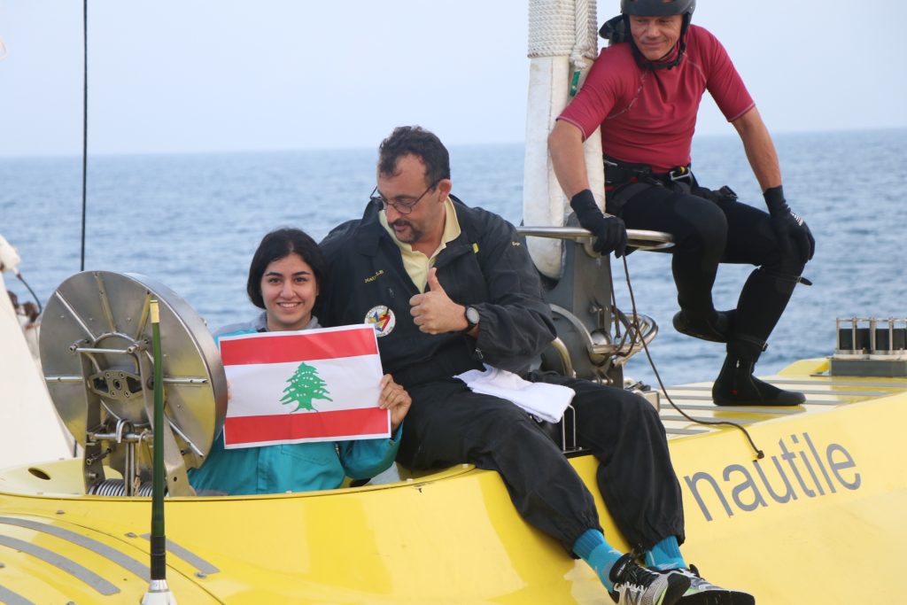
Rim Jbara, Lebanese, with the pilot Xavier and one of the scuba divers of the Nautile team, Hervé. P. G. Ceuleneer. © Ifremer 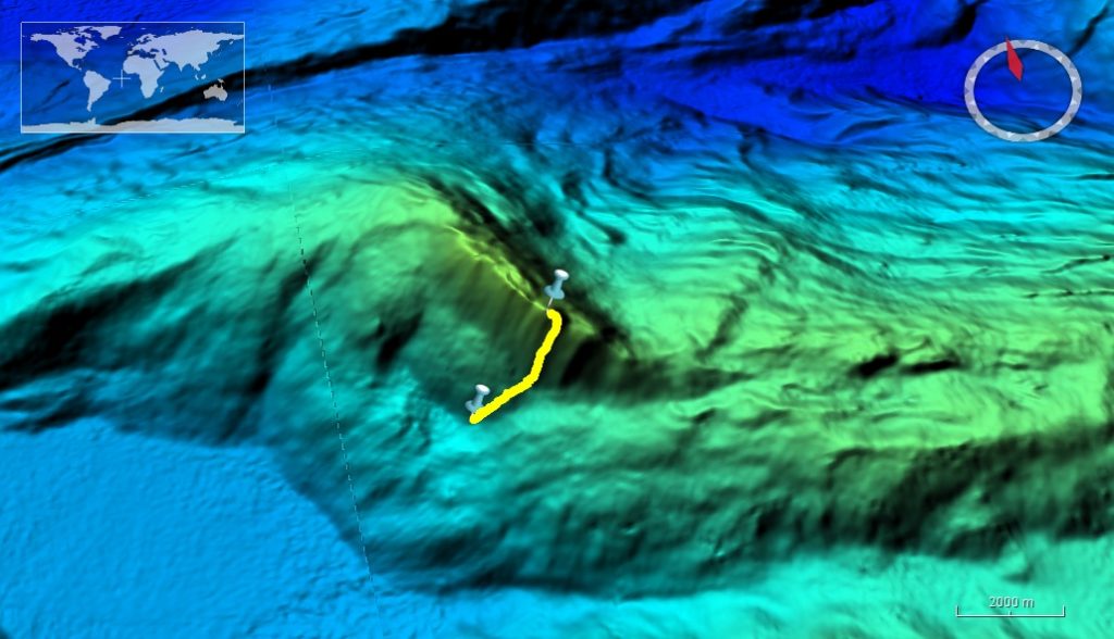
The site of the dive. © SMARTIES cruise 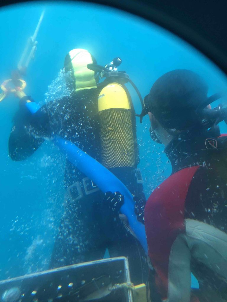
Two scuba divers of the Nautile team attach the submarine after arrival on the surface. P. R. Jbara. © Ifremer
The sea floor at the starting point of the profile consisted of sediment only. On the slope, débris with small pieces of rock form a kind of sediment coat and then we observe large blocks displaced along the slope. A succession of sediments, outcrops and a chaotic terrain are observed along the profile. The summit of the ridge (3927m) was covered with sediment. Of the sixteen samples collected, there were 13 peridotites, 2 diabases and 1 breccia. After about eight hours the Nautile reached the surface at 4:14 PM.
By R. Jbara
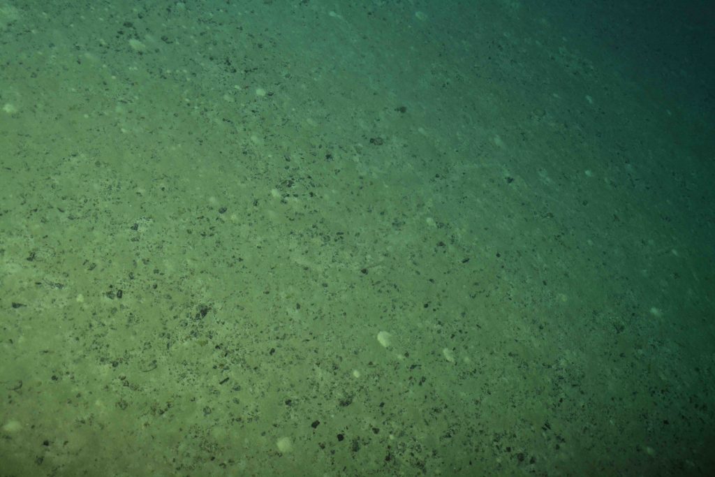
Sediments at the first part of the profile. © SMARTIES cruise 
Débris and sediments on a slope. © SMARTIES cruise 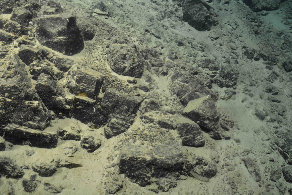
Blocks of peridotite. © SMARTIES cruise